Sabang Island
Kota Sabang on Weh island and is the capital. The island is situated at the tip of Sumatra island and a free economic zone and the area of Indonesia is located at the west.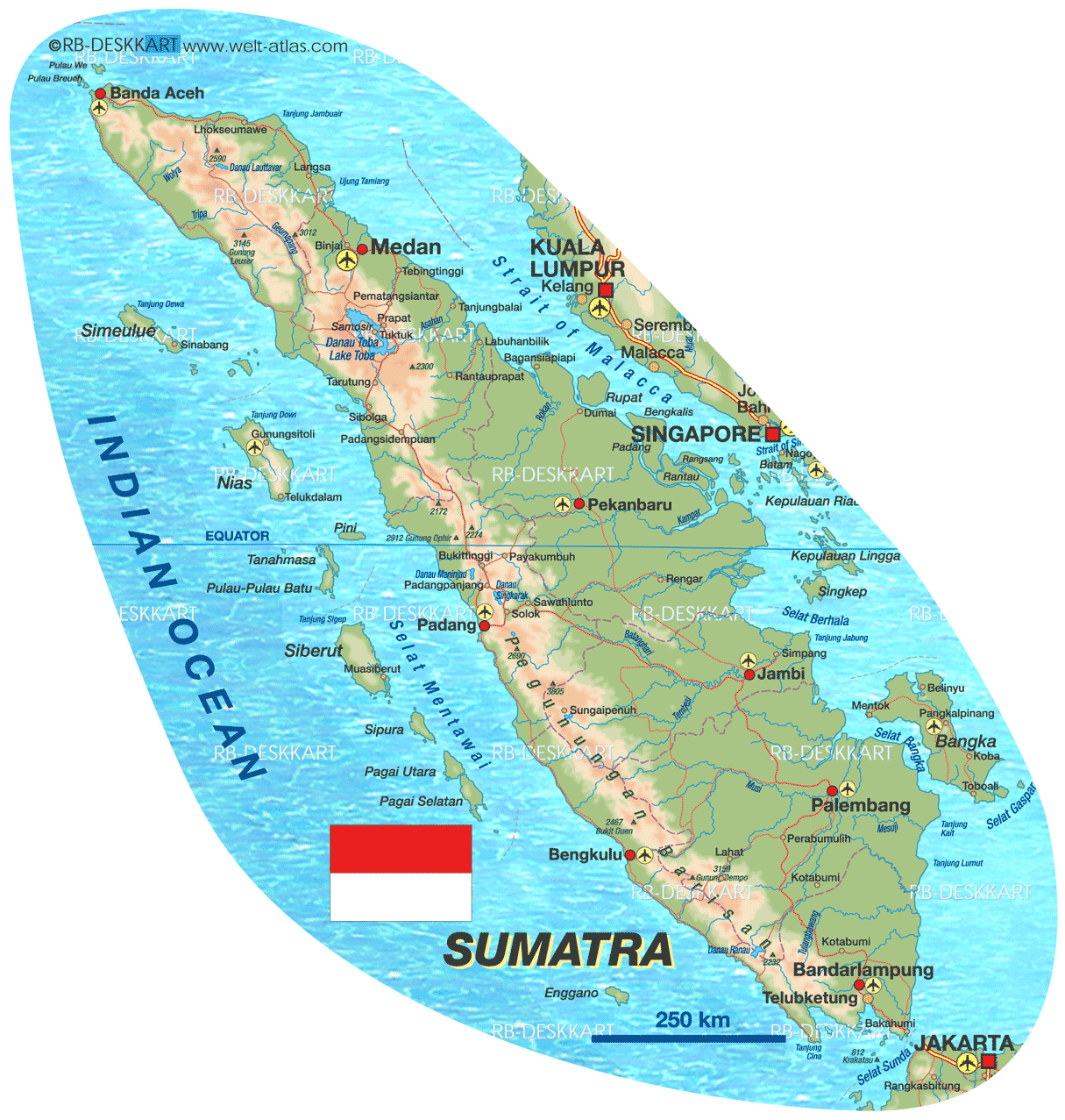
Sabang long been known to point her 0 kilometer, which is the westernmost part of Indonesian territory.
Sabang city administrative territory, geographically, is located between 95 ° 13 '02 "and 95 ° 22' 36" east longitude, and between 05 ° 46 '28 "and 05 ° 54' 28" North Latitude. In terms of geographical Indonesia, Sabang City area is the most western administrative regions, and directly borders with neighboring countries, namely Malaysia, Thailand, and India.
Area Sabang City is surrounded by the Strait of Malacca in the North, the South Indian Ocean, the Strait of Malacca in the East and the Indian Ocean in the West.
Kota Sabang consists of 5 (five) pieces of Pulau Weh island (121 km2), Island Rubiah (0.357 km2), Island Seulako (0.055 km2), Island Klah (0.186 km2), and the island of Rondo (0.650 km2). Weh Island is a freshwater lake called Lake Aneuk Laot.
Kota Sabang topographic conditions generally undulating, hilly moderate to steep and along the beach filled with rocks. Topographical region generally divided into low-lying 3%, 10% undulating terrain, 35% hilly, and 52% hilly to mountainous.
Weh Island is a volcanic island, an island atoll (coral island) is the process of experiencing the rapture of the sea surface. The process of in three stages, as evidenced by the existence of three terrace located at different heights.
Pulau Weh is generally composed of two types of rock, ie rock Tuf marina and the core. Tuf marinas found along the coast almost to the height of 40 to 50 meters. Tuf the widest layer obtained around the city of Sabang, off the coast of the narrow-lined. Small rocks are volcanic rocks are andesitic.
Based on the region, it appears that the western Pulau Weh is most severe topography. Kris Sarongs starting from the highest peak in the east, there are three rows of berjolak back into the West Sea, so the valleys in between the narrow back.
Topography in the east of the mountains that there is a direction from north to south that separates the East Weh Island with the rest. Mount Leumo Mate is the highest peak. In this section there is a layer Tuf larger marinas. Between eastern and western parts there are two rivers flow, namely Laot Man River and Sungai Raya. This area is a slenk of a fleksun (imperfect standards).
Geological conditions of this region consists of 70% volcanic rock (andesite), 27% sedimentary rock (online stone and sand stone), and alluvial deposits of 3% (recent deposits).


0 Responses to “Sabang Island”: